|
Upper Windy Hill Open Space Preserve San Mateo County, California Razorback Ridge Trail and Lost Trail Hike Sunday, September 4, 2011 By Peter Y. Chou WisdomPortal.com |
| Preface: On Sunday September 4, 2011, my friend took me hiking. Going on Old La Honda Road, we stopped at Thornewood Open Space Preserve in Woodside for 15 minutes. Our last visit here was on September 1, 2008. Since then, they've made the ravine crossing less hazardous. Next we went to Upper Windy Hill Open Space Preserve where I've not visited before. Hiked at Lower Windy Hill on July 4, 1999 and on August 24, 2008. We entered Razorback Ridge Trail at Gate WH03 at 3:50 pm and concluded our hike at 5:40 pm. Although there were no towering Redwoods and few Douglas Firs on the trails, the Bay Trees were plentiful and the surroundings were filled with lushness. We also meandered in the Lost Trail and came across two trees making a "X". Could a pirate like Blackbeard or Captain Kidd use this "X marks the spot" to bury his gold treasures here in the Lost Trail instead of on some desert island? |
 Lower Thornewood Entrance |
 Rocks & Fallen Trunk |
 Tall Trees near Entrance |
 Yellow Leaf Trees |
 Dennis Martin Creek |
 Rocks in Ravine |
 Sun Relection & Rocks |
 Vista of Hills from Car |
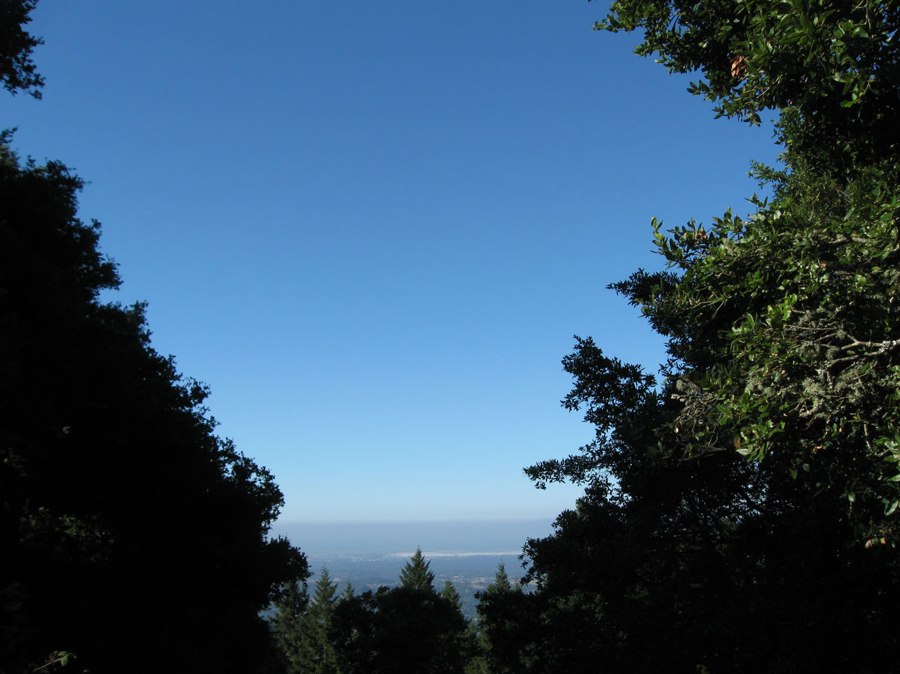
 Vista View at Upper Windy Hill |
 Twisted Bay Trees at Upper Windy Hill |
 Tall Redwood at Thornewood |
 Upper Windy Hill Sign |
 Trailhead at Windy Hill |
 Tree with Right-Angle Branches |
 Lush Leaves at Upper Windy Hill |
 View of Trail Below Bent Bay Trees |
 Scattered Bay Leaves at Trail Bend |
 Leaning Tower Bay Trees |
 Twisting Bay Tree |
 Razorback Ridge Trail |
 "Silhouette" Bay Tree |
 "Sister" Bay Trees |
 Airy Bay Tree |
 Wall of Blackberry Leaves |
 Giant Diagonal Fallen Log |
 Family of Bay Trees |
 Goblet of Trees |
 Leaning Bay Trees |
 Pretty Bay Tree |
 Bay Tree Bathed in Light |
 Bent Bay Tree |
 Signpost to Lost Trail |
 Right-Angle Trail Bend |
 Tree Arch on Trail |
 Asymmetric Tree |
 Tree with Parallel Branches |
 Shelf Mushrooms |
 "Samurai Swords" Tree |
 Water Trough for Horses |
 "X Marks the Spot" on Lost Trail |
 Tree with Right-Angle Branch |
 Two "Y-Trees" |
 Leaves Surrounding Tree Rings |
 Giant Shelf Mushrooms |
 Leaning Bay Tree |
 Ripples in Water Trough |
 Razorback Trail Signpost |
 Thicket of Trees |
 Diagonal Fallen Log |
 White Thistle & Leaves |
 Bay Tree to the Sky |
 Curving Bend on Trail |
 Ferns on the Trail |
 Fragile Flower Plant |
 Crescent Ring in Trunk |
 Green Leaf Plants |
 Green Floral Leaves |
 Tiny White Flowers |
 Six-Petalled Leaves |
 Patch of Green Leaves |
 White Flowers in Green |
 Old Miners Lettuce |
 Six-Petalled Starry Leaf Plants |
 Thistles & Stinging Nettles |
 "Sister" Bay Trees |
 Flowers & Ferns |
 Horseshoe Bend on Trail |
 Roots of Tree |
 Elegant Bay Tree |
 Horseshoe Bend on Trail |
 Roots of Tree |
 Trail Below Bay Trees |
 Y-Shaped Bay Tree |
 Fence-Like Tree |
 Vista View of Salt Flats |
 Razorback Ridge Signpost |
 Skyline Boulevard from Car |
 Horses on Altramont Road |
 Horse on Altramont Road |
| Top of Page
| Long Ridge
| Tarwater
| Santa Teresa
| Foothill Hawk
| Memorial Day 2011
| Lake 5-27-2011 |
| Lake 5-6-2011
| Lake 4-29-2011
| Lake 4-22-2011
| Lake Lagunita 4-1-2011
| Lake 10-2010
| Colorado Ave |
| Stanford 2010
| Thornewood
| Guadalupe Trail
| Purisima Creek
| Castle Rock
| New Almaden
| Lake Hare |
| Saratoga Gap
| Stevens Creek
| El Corte 2010
| Pinnacles 2010
| Walks 2010
| Walks 2009
| Walks 2008 |
| Haikus 2011
| Haikus 2010
| Haikus 2009
| Poems 2011
| Poems 2010
| Poems 2009
| Poems 2008 |
| Basho on Poetry
| CPITS
| Poetry & Power
| Poetry Resources
| Books
| A-Z Portals
| Home |
| © Peter Y. Chou,
Wisdom Portal P.O. Box 390707, Mountain View, CA 94039 email:  (9-7-2011) (9-7-2011) |
|